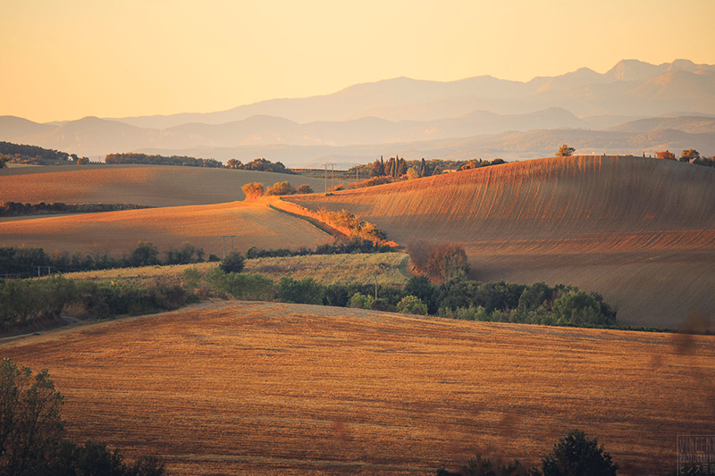
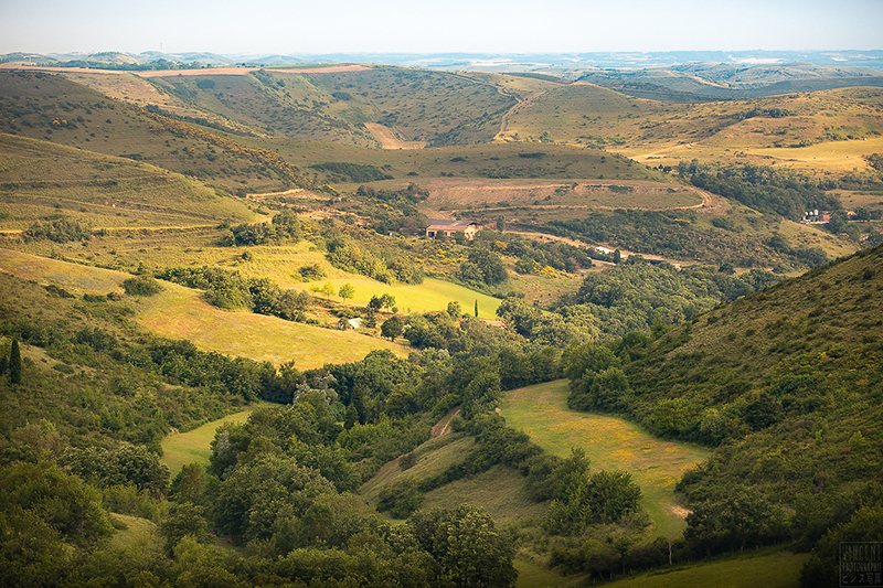
From the foothills of the Montagne Noire to the Piège and Malepère Massifs, and including the Lauragais furrow, the heart of the Cathar hills is a patchwork of green or dry landscapes, swept by the winds of the Cers and the Autan.
Charming villages, true havens of peace, rival with each other when it comes to history and wonderful viewpoints where the eye embraces the colourful curves of the terrain. But if the rest and tranquillity of nature outings are the order of the day, there is no such thing as boredom: canoeing in Belpech, cable wakeboarding or boat trips in Bram, treasure hunts and geocaching, hiking, mountain biking or horseback riding: there’s something for everyone.
Here, no revving engines and traffic jams; goodbye to the untimely and loud horns!
Breathe, you are in the heart of the Cathar hills.
Descending the Montagne Noire
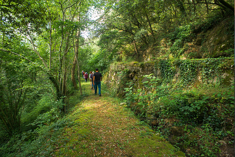
It is a small shady valley where the joyful streaming of the Lampy waters resonates. Villages and industries, now largely extinct, were established along the waters. Watermills, mills, factories, used the power of its waters to operate. Following the meanders of the river, dotted with holm oaks, we observe some paddle wheels of abandoned mills, we pass through places with evocative names: Mécanique, Foulon… As they rise, the meadows and pastures flourish on wide views of the plain and the Lauragais furrow.
[Natura 2000: Cenne-Monestiés, Carlipa, two municipalities located within the perimeter of the Natura 2000 protected area of Lampy … Located at the crossroads of various climatic influences: Mediterranean, oceanic and mountainous, the Lampy valley has been classified as a Natura 2000 zone for the richness of the river of the same name. Its presence is accompanied by attractive and remarkable forest-type flora and rare fauna: southern barbel, Planer’s lamprey.]
![]()
The Lauragais Furrow
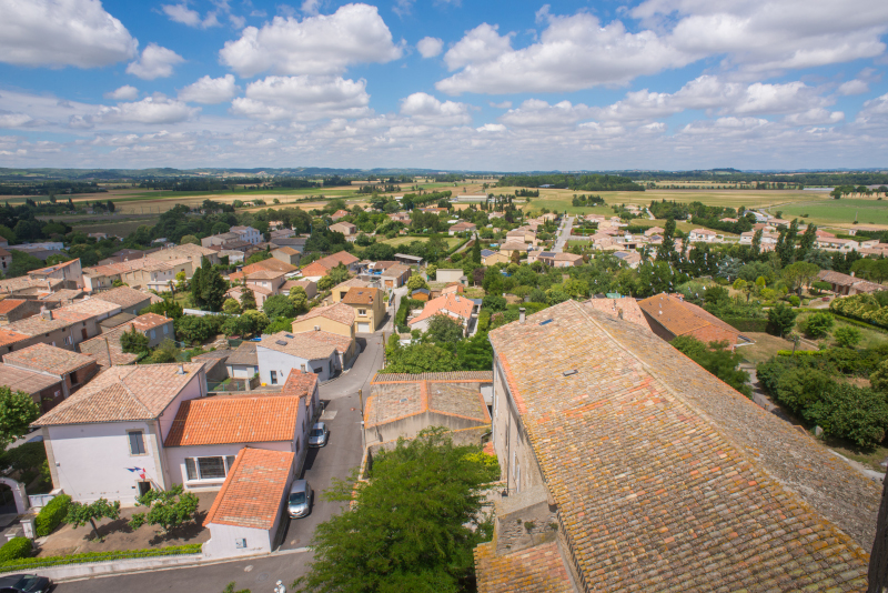
A veritable corridor linking the Mediterranean and Atlantic basins, wedged between the foothills of the Massif Central, the Montagne Noire and the hilly massifs linked to the Pyrenees, the Lauragais furrow has been used as a passageway. It was here that traders passed along the Via Aquitania, which was located on the Canal du Midi, as well as railways and motorways.
It is an open space of field crops where the delimitations of cultivated plots punctuate the décor.
[The traditional farms are built according to an almost unchanging plan: they are long buildings, oriented to offer as little resistance as possible to the prevailing winds. Borders are long and low and rarely have more than one level. The ancillary buildings, dovecotes and mills, were located near the main building. Often built in height, the Lauragais farms are generally surrounded by groves of trees whose functions are multiple: supply of wood and fruits, protection against the wind and the sun… They are often indicated in the large landscape by remarkable trees and specific species (umbrella pines, cedars, etc.).]
![]()
The Malepère
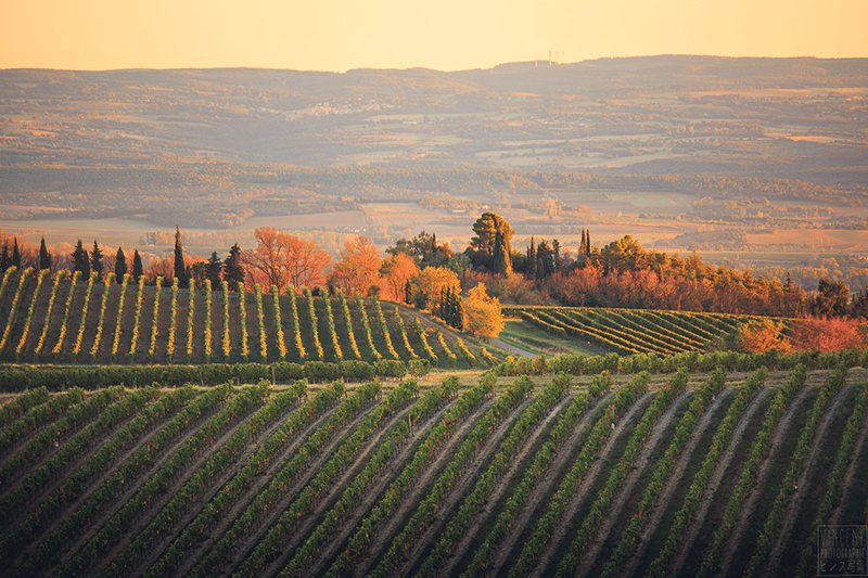
Oaks of various species, forests and lines of vine stocks, whose bunches of grapes will make up excellent red or rosé wines of the protected designation of Malepère, all thrive here. Against this botanic backdrop, stands the imposing silhouette of Montréal d’Aude and its collegiate church. From its heights you can find on one side the low vegetation battered by the wind of the Lauragais furrow and on the other, the green and abundant expanse of the Chapitre Woods – a botanists’ dream. At the confluence of the Mediterranean and Atlantic climates, improbable species of plants and trees flourish and dot the small botanical interpretative trail to the Tuf de Montréal.
[Natura 2000: This wooded site has a biogeographical interest given by its intermediate position under the influences of the Mediterranean and Atlantic climates. You can meet some species of bats there: Small and Large Horseshoe Bat, Murin or Vespertilion with scalloped ears…]
![]()
The Razès
The Razès forms a vast depression in the middle of the hills to the west of Aude. It is a hilly plain carved by the Sou between the steep edge of the hills of the Piège to the west and the small massif of the Malepère to the north. The Razès stretches 15 kilometres from east to west and 10 kilometres from north to south. Many small circular villages, like Ferran, Brézilhac and Hounoux, are densely clustered settlements. The plots carefully trace a mosaic of diverse crops: vines, ploughed fields, hardwood groves, and some meadows on the slopes.
[The watershed is a line of ridges from Montferrand to Hounoux via Fanjeaux, along several hiking routes. It marks the boundary between two slopes and shares the flow of surface water (sources, precipitation) between two different directions, each corresponding to a catchment area. On the ridges panoramas multiply in viewpoints from where the walker can see at leisure the geological peculiarities of the Aude: Pyrenees, Montagne Noire, Lauragais furrow and hills of the Piège]
![]()
The Piège
The paths here are legion for a short walk, hiking, mountain biking or horseback riding.
The gentle and undulating hills are full of many treasures of Romanesque art (in Belpech, Cazalrenoux, Fonters-du-Razès or Besplas) such as old mills, but also some castles, some are private, others have been converted into cottages and tourist accommodations. But this wealth is of little importance compared to the human one that sustains the Piège: its local producers, cheese makers, breeders (ducks, poultry, cows, pigs, goats and sheep), market gardeners, beekeepers, are all opportunities for agricultural and gourmet tours and tastings.
[Natura 2000: Located on the western edge of the Aude, West of Bram, the Piège has its uniqueness in its hilly landscapes with cultivated soils, mainly dedicated to the production of cereals, oilseeds and protein crops and interspersed with wooded areas. The alternation of these cultivated and wild environments makes the diversity and specificity of the avifauna of this area. Twenty-six species of birds are protected including the booted eagle, the short-toed snake eagle and the purple heron…]
