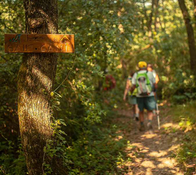
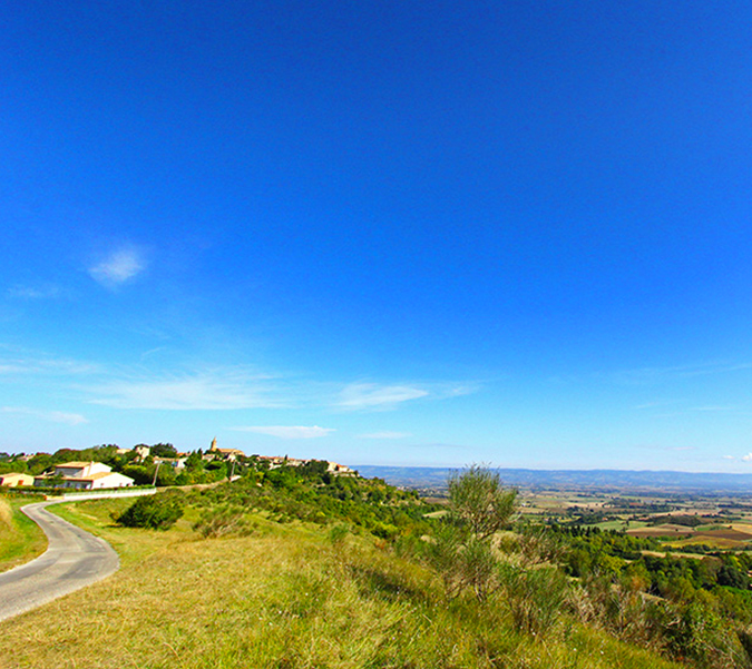
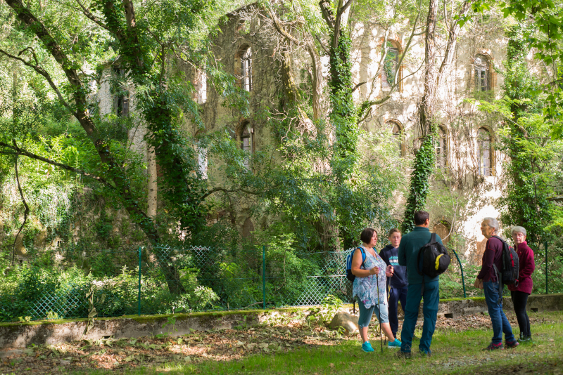
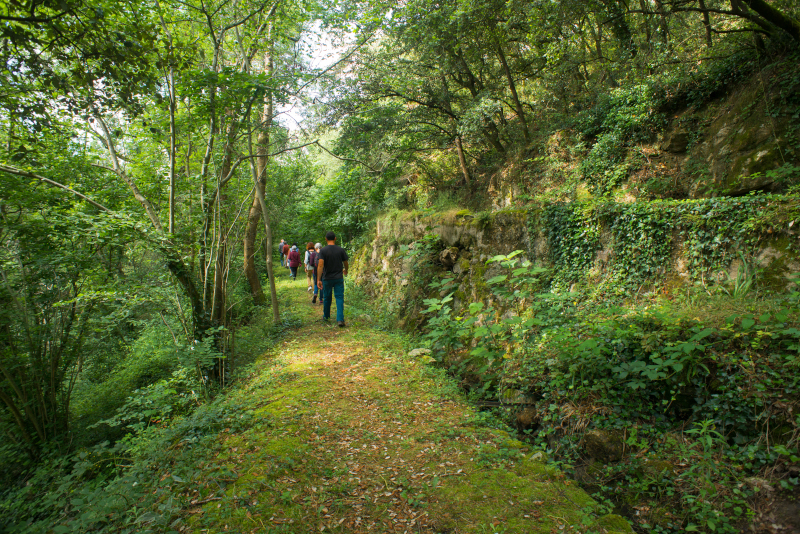
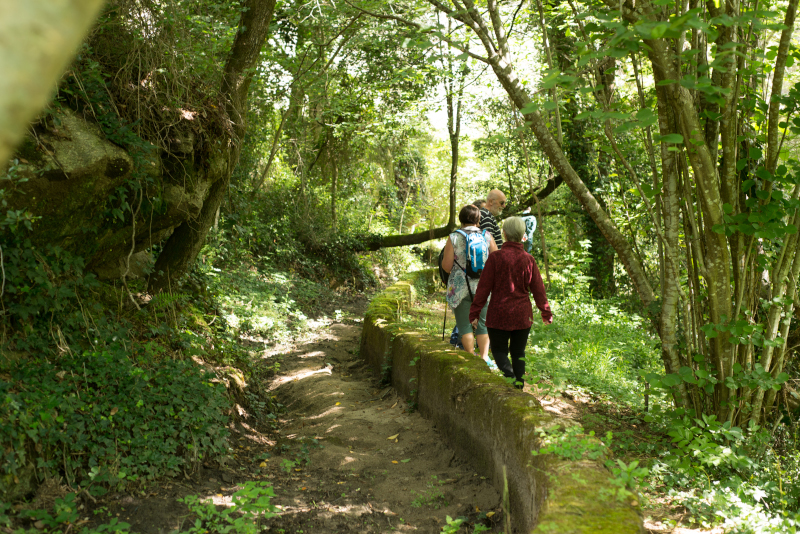
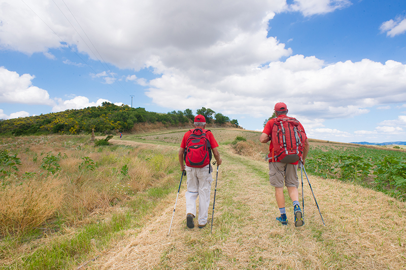
The Botanical Trail and its Variant
3.4km + (variant 3.5km) | 60m ascent
Starting point: Bergerie du Bois du Chapitre (Montréal d’Aude)
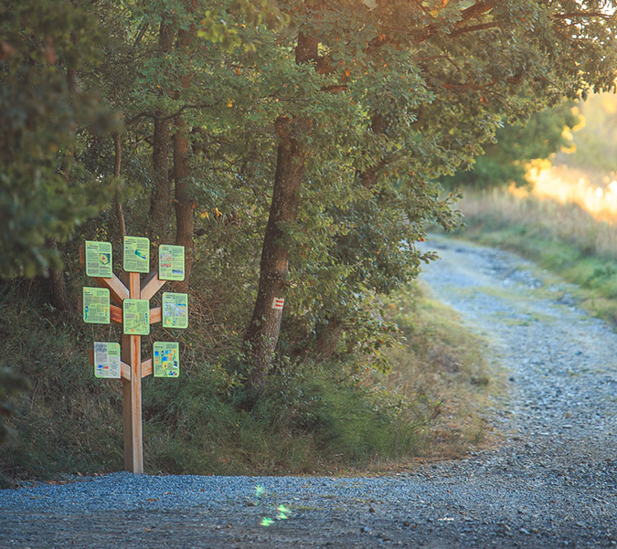
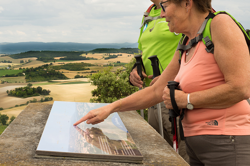
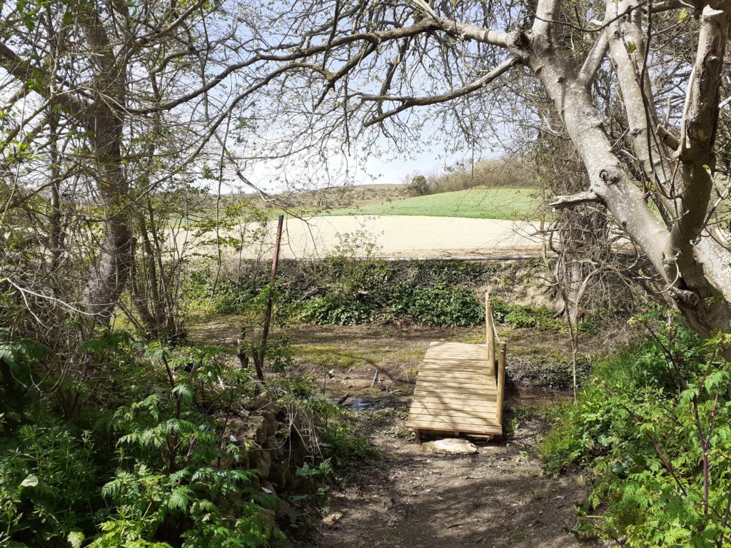
In this wood with remarkable botanical riches, interpretive furniture punctuate your walk along the Botanical Trail – an immersion in the heart of the Massif de la Malepère where you discover a great diversity of flora in an informative and fun way. So bring your botanist magnifying glass with you and pass the four gates of the Botanical Trail to the Saut-Cani waterfall
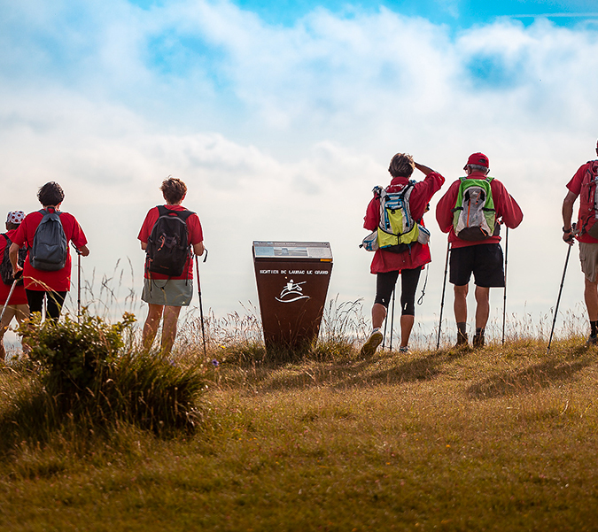
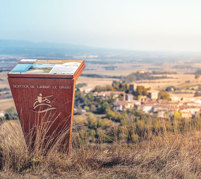
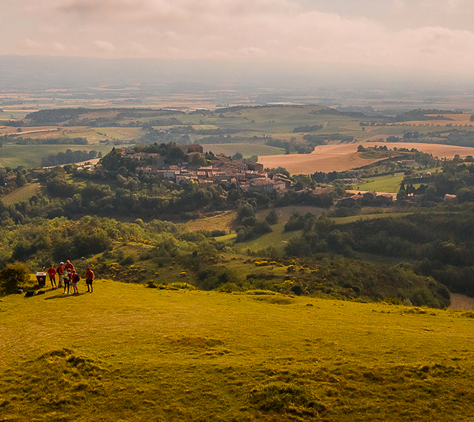
Laurac Historical Interpretive Trail
4.7km | 175m ascent
Starting point: Information sign, Place des Mares (Laurac le Grand)
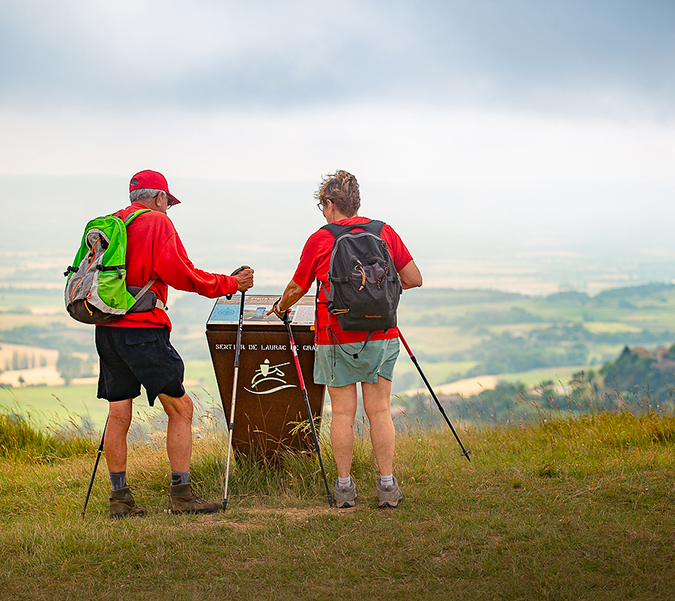
Laurac-le-Grand’s interpretive trail evokes the turbulent past of its lords, who were followers of Catharism, and also life in the castra in medieval times. Dive into the history and landscapes of the Cathar hills, on a route along the Tour du Lauragais and the Collines du Vent.
The Fount Picou
6km | 115m ascent
Starting point: In front of the Tourist Office Place du Treil (Fanjeaux)
This loop encircles a narrow valley that was once arable land shared by the farmers settled in the village. Each of the fields thus aligned had access or “not” from the path; a stone hut, flanked by traditional cypress, allowed the farmer and his animals to take a well-earned rest, once the work was completed..
Sentier des Crêtes (Ridge Trail)
8km | 160m ascent
Starting point: Mairie (town hall), Place de l’Église (Hounoux)
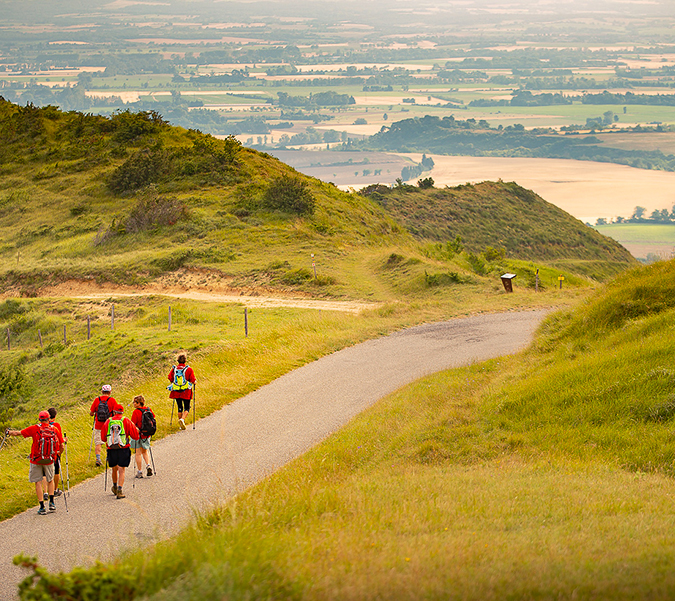
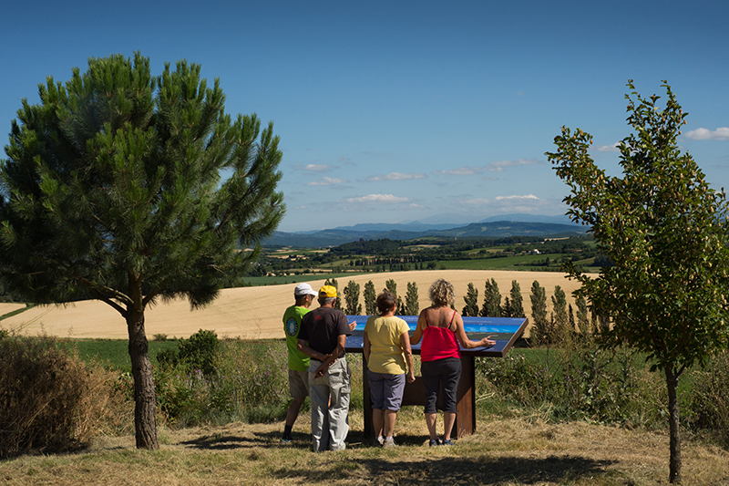
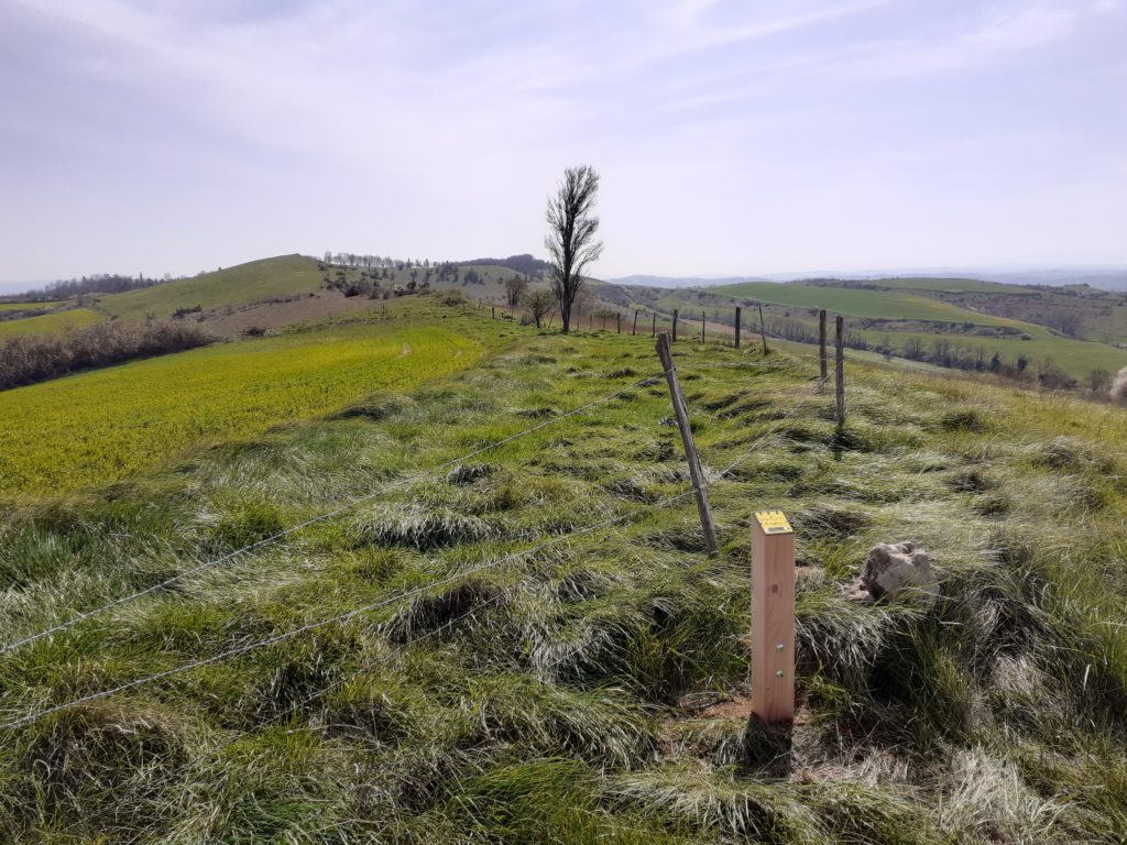
From the plain of the Lauragais to that of the Bas-Razès. The route follows part of the GR78-7. It travels along a ridge line that is situated exactly on the watershed between the Atlantic-Mediterranean watershed. This geographical curiosity leads to a grouping of two climatic diversities which the nearby Pyrenees have an influence on.
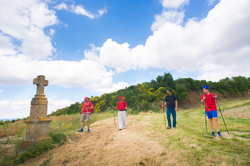
Loop of the little Saint-Christol
12km | 119m ascent
Starting point: Chapelle Saint Christol (Fonters du Razès)
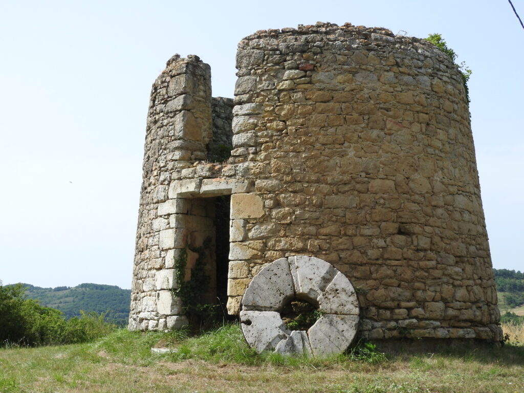
At the start of the Romanesque chapel Saint-Christol this pleasant route criss-crosses the hills, pastures and woods. Discover the medieval village of Mireval-Lauragais on your way with its windmill and admire the panorama from the Crois de Caux.
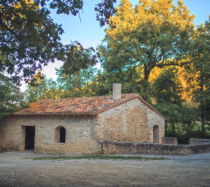
The Chapel of Saint Christol (late 11th or early 12th century), typical of Roman Art in the Languedoc, is listed in the Inventory of Historic Monuments.
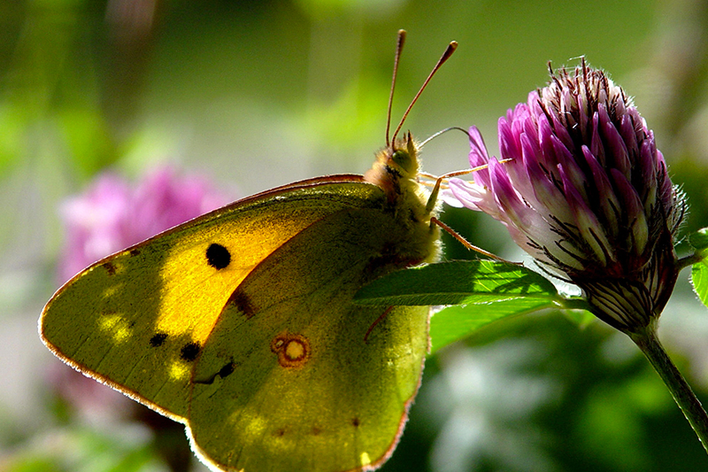
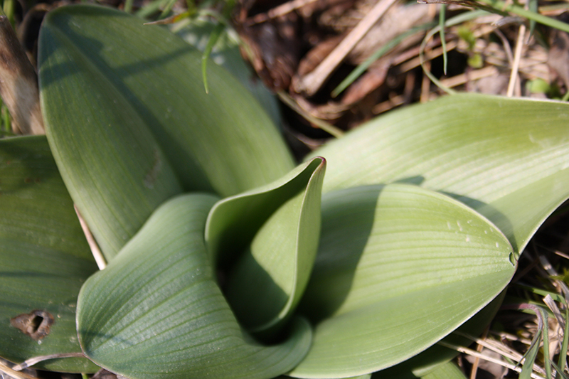
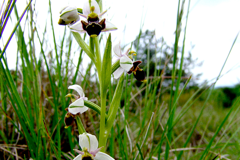
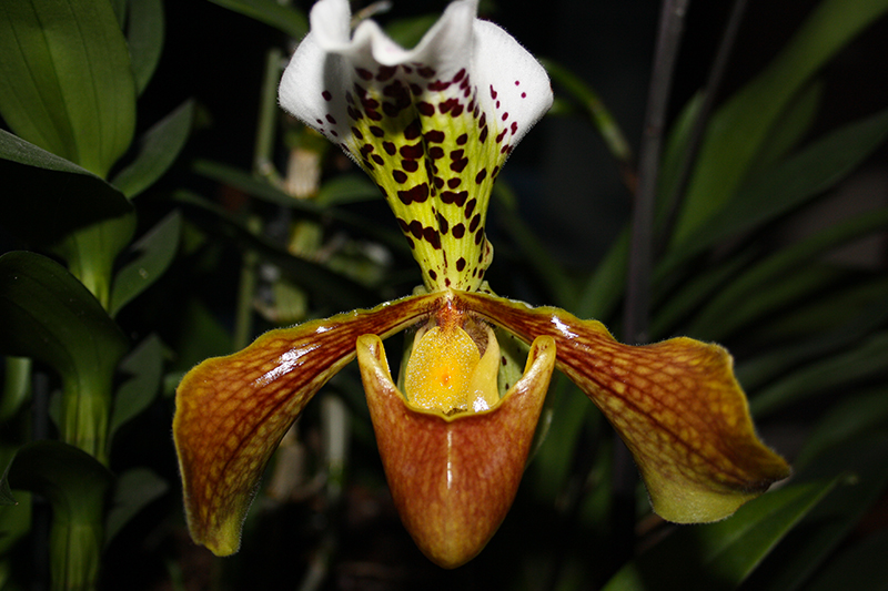
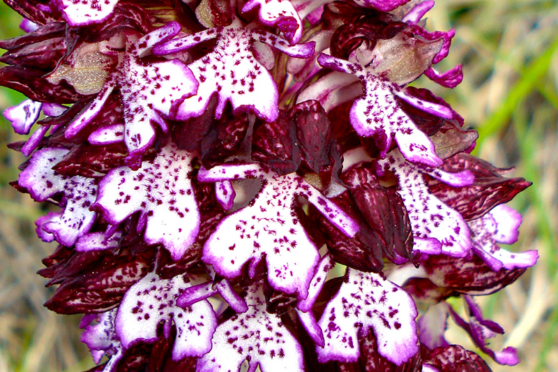
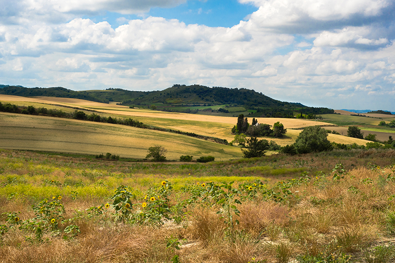
Sentier des Orchidées (Orchid Trail)
9.5km | 260m ascent
Starting point: Maison de la Randonnée (Villasavary)
The wild orchid discovery trail runs from the hillsides of Mont Carrière to those of the Canonges and offers a succession of hills and valleys where undergrowth, forests, cultivated areas, open and dry grasslands on chalky soil and wetlands alternate.
Signs and specific markings have been placed along the trail, they will guide you and help you identify the different species of orchids present onsite.
Loop of the Hille and Mont Carrière
12.1km | 340mD+
Starting point: In front of the Tourist Office, Place du Treil (Fanjeaux)
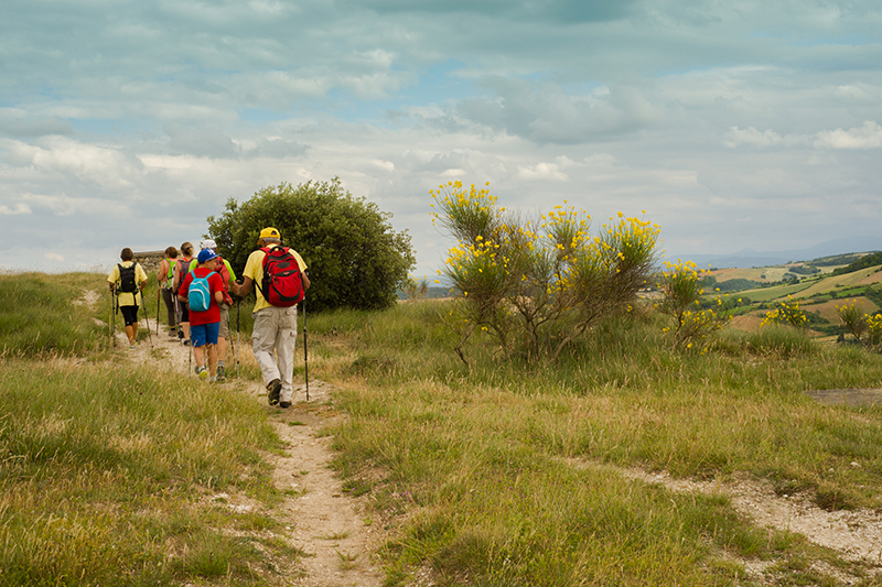
This loop starts with the wooded valley of the Fount Picou and then leads to the ridges of the hills. After the shady paths of the woods, the route leads to the top of the hills with magnificent panoramas of the ‘puegs’ or ‘peaks’ of the Piège, the Pyrenees, the Lauragais Plain and the Montagne Noire. At Mont Carrière, the highest point of the trail, the flora is rich in broom moorland, fragrant with thyme and lavender.
Au fil de l’eau et des moulins
5.8 km | 300m ascent
Starting point: Place du Lavoir (Cenne-Monestiès)
From Cenne-Monestiés with a rich industrial past, to Villemagne a mid-mountain village where farming predominates, the proposed route allows the discovery of the Lampy Valley.
Landscapes and Vineyards in the Bas-Razès
17.1km | 250m ascent
Starting point: At the information sign, Grand Rue (Lasserre de Prouille)
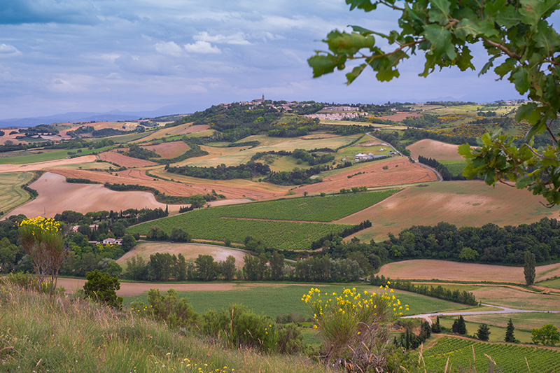
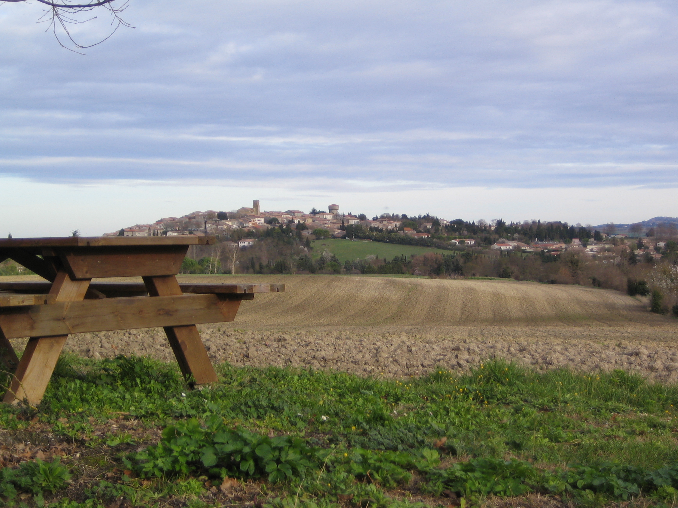
The ‘Landscapes and Vineyards of the Bas-Razès’ loop offers extensive views of the Pyrenees Mountains, the Lauragais Plain and the Montagne Noire. In the heart of the Razès, this country is shaped by its cultivated meadows that gradually give way to the vines and its Malepère wines with a protected designation of origin.
The Way of Dominic
30km | 200 à 260m ascent
Starting point: In front of the Office de Tourisme (Fanjeaux) or Avenue du Lauragais (Montréal)
A route without great difficulty, which takes place mainly on country lanes through woods and vineyards and on an old railway line. This 30-km route from Fanjeaux to Montréal is offered in two loops of 15 km each.

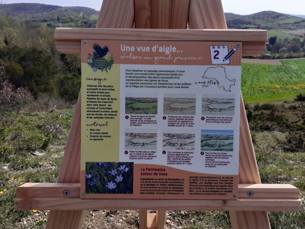
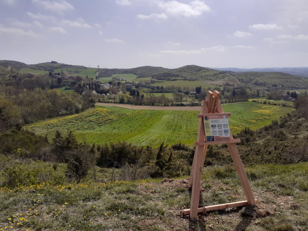
Le Sentier du Dessin et des Chapelles Romanes
9,9 km | 270mD+
Departure: Behind the Notre-Dame de Cazalrenoux Chapel
Equipped with your hiking kit, explore the Piège hills. Discover the Romanesque chapels of Cazalrenoux and Génerville. Along the way, take the time to observe and experience your surroundings to best capture the atmosphere and the scenes you encounter. Seven themed workshops will introduce you to a wide range of techniques for composing and perfecting drawings and sketches.
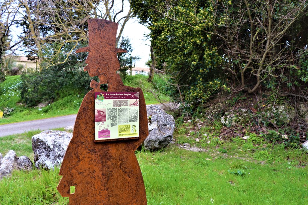
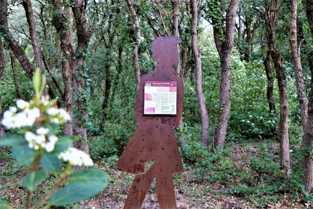
Les dédales du temps à Villasavary
10.2 km | 240mhttps://collinescathares.com/wp-content/uploads/2026/05/white-icon-rando@2x.pngD+
Departure: Welcome sign at the Maison de la randonnée, Villasavary
The “Les Dédales du Temps” walking loop invites you to discover the local landscapes and the people who have shaped them over time.
A true invitation to travel back in time, the metallic silhouettes of Théodore Denille, his son Léopold, and the archaeologist will guide your walk.


La Campagne d’Aujourd’hui et d’Hier
12.4 km | 260mD+Departure: Wooden and metal welcome signs
– In Plavilla, near the old shoeing loom
– In Saint-Julien-de-Briola, in the square next to the town hall
This trail offers a dialogue between rural life today and yesterday. Bertrand, a grocer from Mirepoix who travels from village to village selling his wares, will take you on a journey back in time. As you wander through the countryside, meeting his artisan customers, you’ll learn more about these “ancient” trades and the daily lives of the women and men who were the heart of the region. Their heritage and stories will resonate with current rhythms and modern practices.


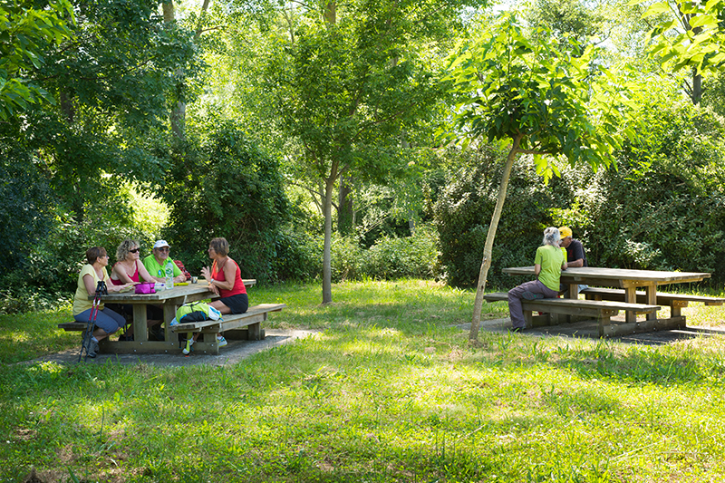
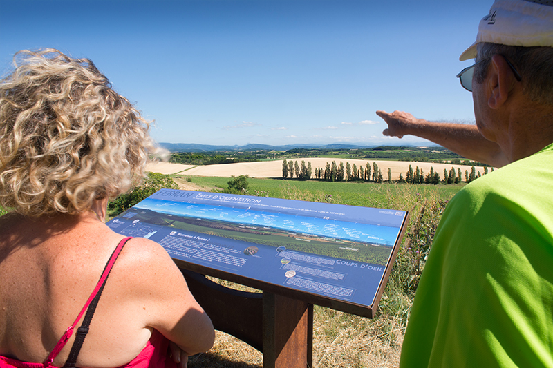
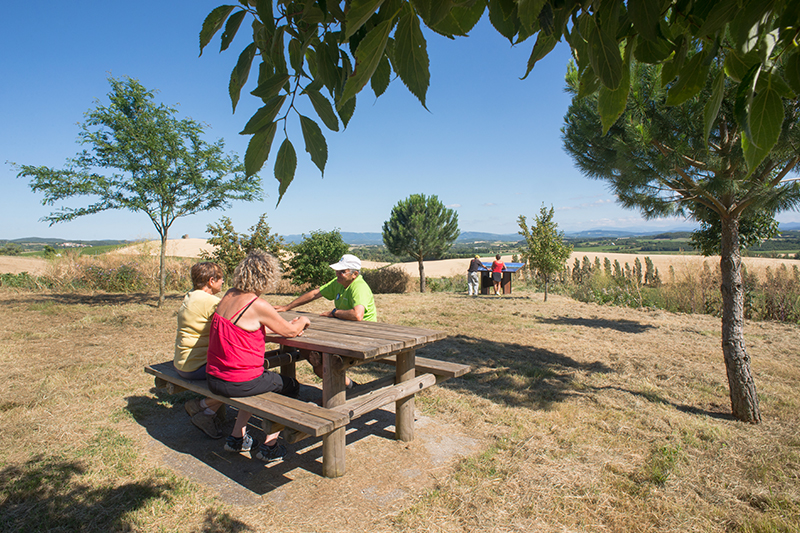
La boucle des handicaps
Boucles de 3.5 km | 74mD+
Departure: Hiking Center (Villasavary)
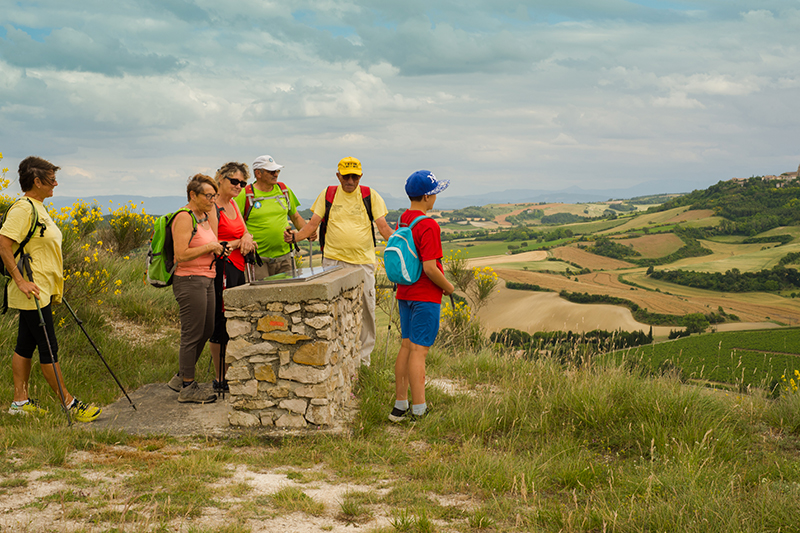
This loop was created in 2019 by two local residents and passionate hikers. This 3.5km nature hike is one of the only ones in the department designed for people with disabilities. Tables and benches mark the trail, as well as 13 information panels about the surrounding area. One of the two loops is specifically adapted for people with reduced mobility and wheelchairs.

![]()